

There are 4 ways to get from Capeletti Heliport to Holiday Inn Hotel Port of Miami-Downtown by train, bus,rideshare, car or plane
Driving
Total time spent: 25 mins
Distance:374 ft
Duration:1 min
Head west
Distance:112 ft
Duration:1 min
Turn left toward NW 167th St
Distance:0.5 mi
Duration:2 mins
Turn right onto NW 167th St
Distance:315 ft
Duration:1 min
Turn left onto NW 67th Ave/
Distance:0.1 mi
Duration:1 min
Turn left at the 1st cross street onto NW 167th St
Distance:5.8 mi
Duration:6 mins
Take the ramp on the left onto FL-826 E
Distance:1.3 mi
Duration:2 mins
Take the exit onto I-95 S
Distance:0.1 mi
Duration:1 min
Take the exit on the left toward Express Lanes
Distance:7.4 mi
Duration:7 mins
Merge onto I-95 Express
Distance:0.9 mi
Duration:1 min
Merge onto I-95 S
Distance:0.6 mi
Duration:1 min
Take exit 2D on the left toward I-395/
Distance:0.1 mi
Duration:1 min
Merge onto I-395 E
Distance:79 ft
Duration:1 min
Continue onto MacArthur Cswy
Distance:0.3 mi
Duration:1 min
Take exit 2A on the left for NE 2nd Ave toward US-1/
Distance:0.3 mi
Duration:1 min
Turn right onto NE 2nd Ave
Distance:318 ft
Duration:1 min
Turn left onto NE 8th St
Distance:0.3 mi
Duration:1 min
Turn right onto Biscayne Blvd
Walking
Total time spent: 5 hours 29 mins
Distance:292 ft
Duration:1 min
Head east
Distance:105 ft
Duration:1 min
Turn right toward NW 167th St
Distance:2.4 mi
Duration:48 mins
Turn left onto NW 167th St
Distance:1.1 mi
Duration:21 mins
Turn right onto NW 37th Ave/
Distance:0.1 mi
Duration:2 mins
Turn left onto NW 151st St/
Distance:0.8 mi
Duration:15 mins
Turn right onto Perviz Ave
Distance:285 ft
Duration:1 min
Turn left toward Opa-locka Blvd
Distance:0.4 mi
Duration:8 mins
Turn right onto Opa-locka Blvd
Distance:0.1 mi
Duration:3 mins
Turn left onto York St
Distance:226 ft
Duration:1 min
Turn right toward Superior St
Distance:0.3 mi
Duration:6 mins
Slight left onto Superior St
Distance:0.1 mi
Duration:2 mins
Turn right onto NW 24th Ave
Distance:0.3 mi
Duration:5 mins
Turn left onto NW 136th St/
Distance:1.8 mi
Duration:36 mins
Turn right onto NW 22nd Ave
Distance:0.5 mi
Duration:10 mins
Turn left onto NW 107th St
Distance:0.4 mi
Duration:9 mins
Turn right onto NW 17th Ave
Distance:0.4 mi
Duration:8 mins
Turn left onto Little River Dr
Distance:200 ft
Duration:1 min
Turn left onto NW 95th St
Distance:184 ft
Duration:1 min
Sharp right to stay on NW 95th St
Distance:1.0 mi
Duration:20 mins
Turn left onto Little River Dr
Distance:2.6 mi
Duration:53 mins
Turn right onto NW 7th Ave
Distance:0.1 mi
Duration:3 mins
Turn left onto NW 46th St
Distance:0.4 mi
Duration:8 mins
Turn right onto NW 6th Ave
Distance:0.3 mi
Duration:5 mins
Continue onto NW 40th St
Distance:0.7 mi
Duration:14 mins
Turn right onto NW 2nd Ave
Distance:0.2 mi
Duration:5 mins
Turn left onto NW 29th St
Distance:1.1 mi
Duration:21 mins
Turn right onto N Miami Ave
Distance:213 ft
Duration:1 min
Slight left to stay on N Miami Ave
Distance:0.1 mi
Duration:2 mins
Slight left onto NE 14th St
Distance:0.7 mi
Duration:15 mins
Turn right onto NE 1st Ave
Distance:0.2 mi
Duration:4 mins
Turn left onto NE 4th St
Bicycling
Total time spent: 1 hour 44 mins
Distance:374 ft
Duration:1 min
Head west
Distance:112 ft
Duration:1 min
Turn left toward NW 167th St
Distance:0.5 mi
Duration:3 mins
Turn right onto NW 167th St
Distance:256 ft
Duration:1 min
Turn left onto NW 67th Ave/
Distance:4.5 mi
Duration:25 mins
Turn left onto NW 167th St
Distance:3.5 mi
Duration:21 mins
Turn right onto NW 22nd Ave
Distance:1.0 mi
Duration:5 mins
Turn left onto NW 111th St
Distance:0.8 mi
Duration:4 mins
Turn right onto NW 12th Ave
Distance:0.4 mi
Duration:2 mins
Turn left onto NW 99th St
Distance:0.7 mi
Duration:4 mins
Turn right onto NW 8th Ave
Distance:0.1 mi
Duration:1 min
Turn left onto Little River Dr
Distance:0.7 mi
Duration:4 mins
Turn right onto NW 7th Ave
Distance:331 ft
Duration:1 min
Turn left onto NW 77th St
Distance:0.1 mi
Duration:1 min
Turn right onto NW 6th Ct
Distance:0.4 mi
Duration:2 mins
Turn left onto NW 75th St
Distance:3.3 mi
Duration:19 mins
Turn right onto NW 2nd Ave
Distance:0.1 mi
Duration:1 min
Turn left onto NW 20th St
Distance:0.5 mi
Duration:2 mins
Turn right onto NW 1st Ave
Distance:0.4 mi
Duration:3 mins
Turn left onto NW 14th St
Distance:0.7 mi
Duration:5 mins
Turn right onto NE 2nd Ave
Distance:0.1 mi
Duration:1 min
Turn left onto NE 4th St
Transit
Total time spent: 1 hour 32 mins
Distance:0.8 mi
Duration:17 mins
Walk to NW 67 Av & Loch Ness
Distance:7.5 mi
Duration:27 mins
Bus towards Dadeland South
Distance:331 ft
Duration:2 mins
Walk to Okeechobee
Distance:11.0 mi
Duration:27 mins
Train towards Dadeland South
Distance:0.7 mi
Duration:3 mins
Light rail towards Bayfront Park
Distance:0.1 mi
Duration:3 mins
Walk to 340 Biscayne Blvd, Miami, FL 33130, USA
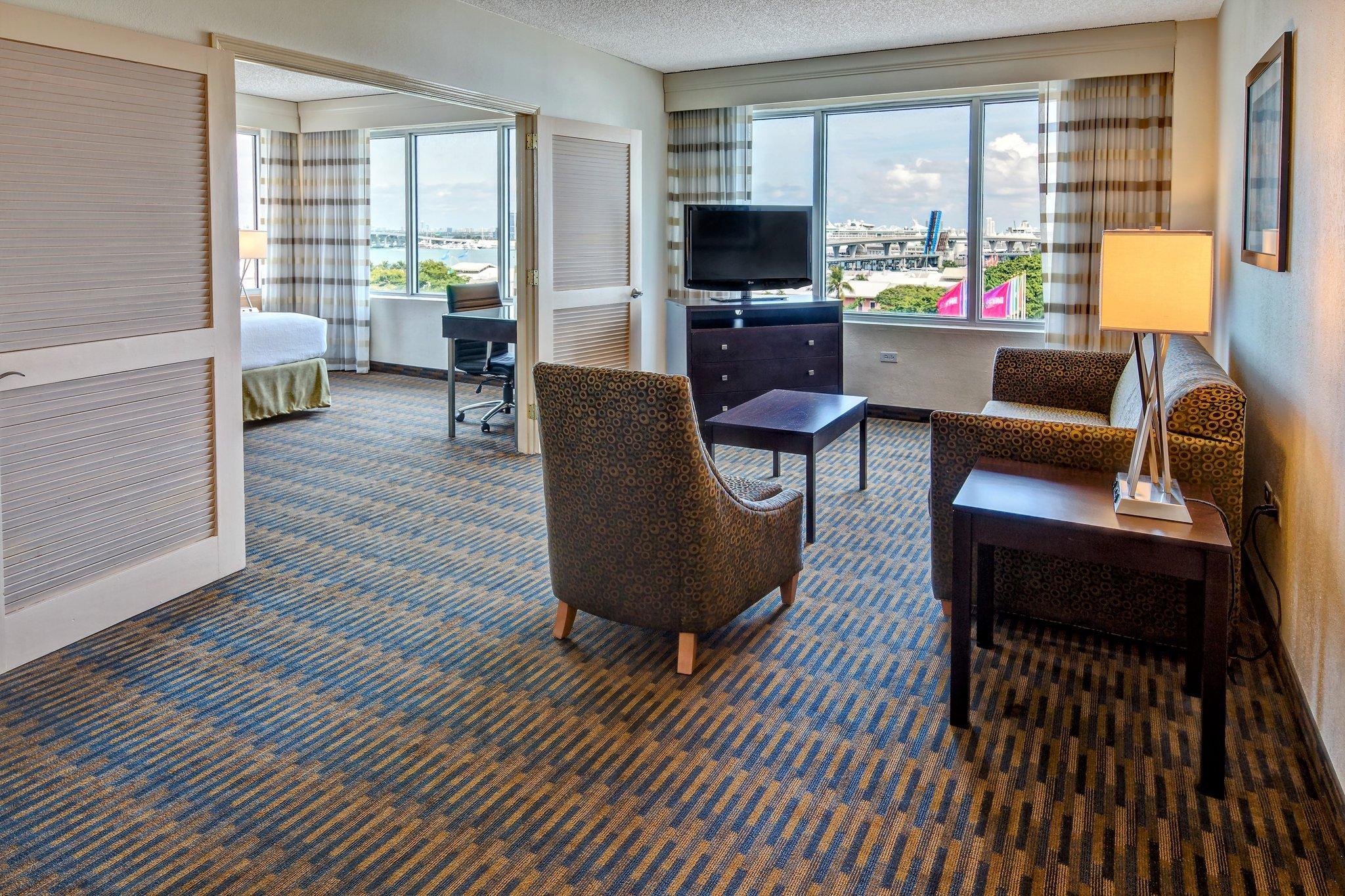
Questions & Answers
The cheapest way to get from Capeletti Heliport to Holiday Inn Hotel Port of Miami-Downtown is to walking which costs $0 and takes 5 hours 29 mins.
The fastest way to get from Capeletti Heliport to Holiday Inn Hotel Port of Miami-Downtown is to driving. Taking this option will takes 25 mins.
No,there is no direct bus departing from Capeletti Heliport to Holiday Inn Hotel Port of Miami-Downtown,you may have to walk for a while.The journey takes approximately 1 hour 32 mins.
No, there is no direct train departing from Capeletti Heliport to Holiday Inn Hotel Port of Miami-Downtown. you may have to driving,this way will takes 25 mins.
The road distance between Capeletti Heliport to Holiday Inn Hotel Port of Miami-Downtown is 17.8 mi.
The best way to get from Capeletti Heliport to Holiday Inn Hotel Port of Miami-Downtown without a car is to transit which takes 1 hour 32 mins.
The driving from Capeletti Heliport to Holiday Inn Hotel Port of Miami-Downtown takes 25 mins.
Capeletti Heliport to Holiday Inn Hotel Port of Miami-Downtown bus services, depart from NW 67 Av & Loch Ness station.
You can drive from Capeletti Heliport to Holiday Inn Hotel Port of Miami-Downtown,which takes 25 mins.
The best way to get from Capeletti Heliport to Holiday Inn Hotel Port of Miami-Downtown is to driving which takes 25 mins.