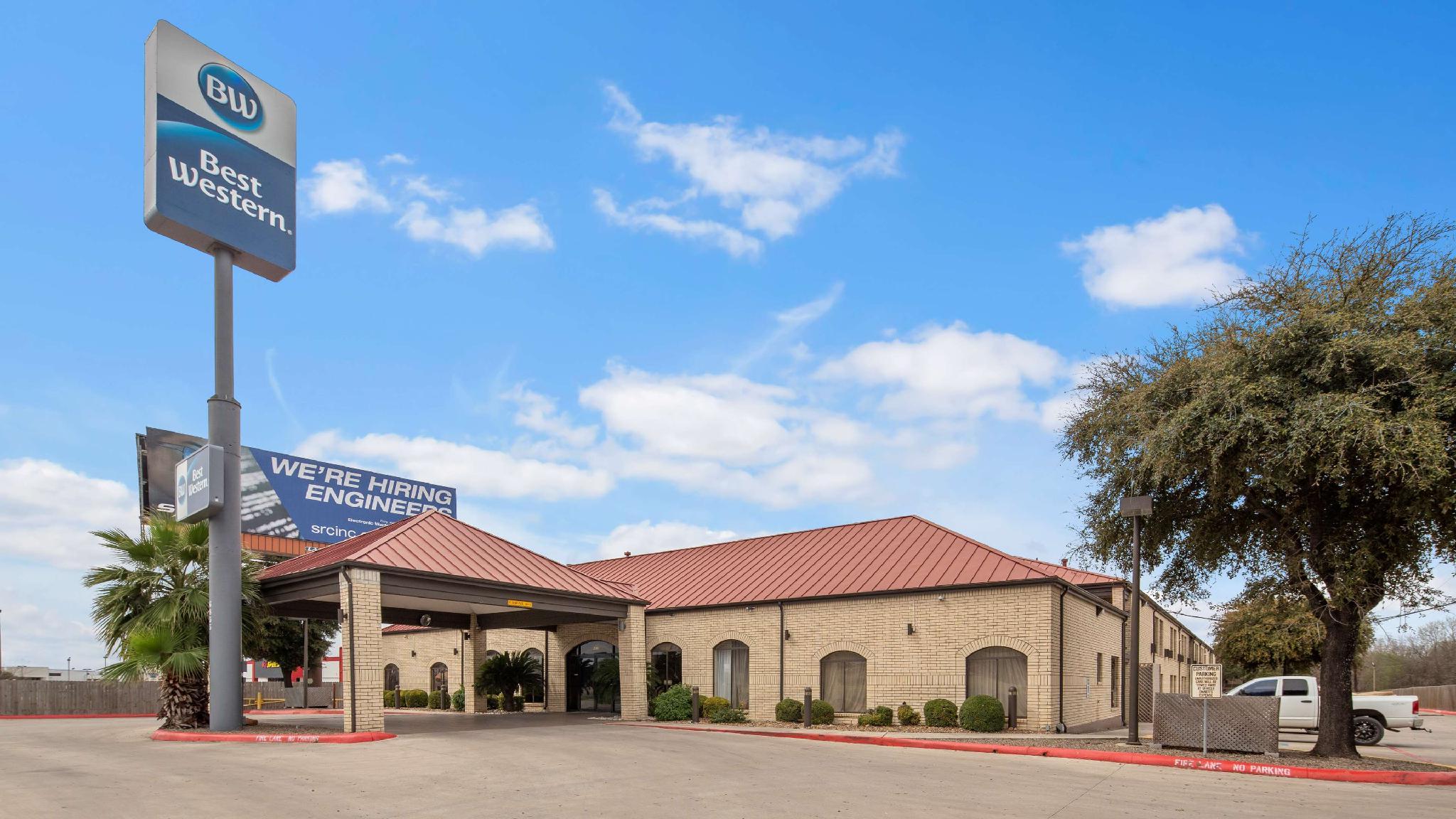
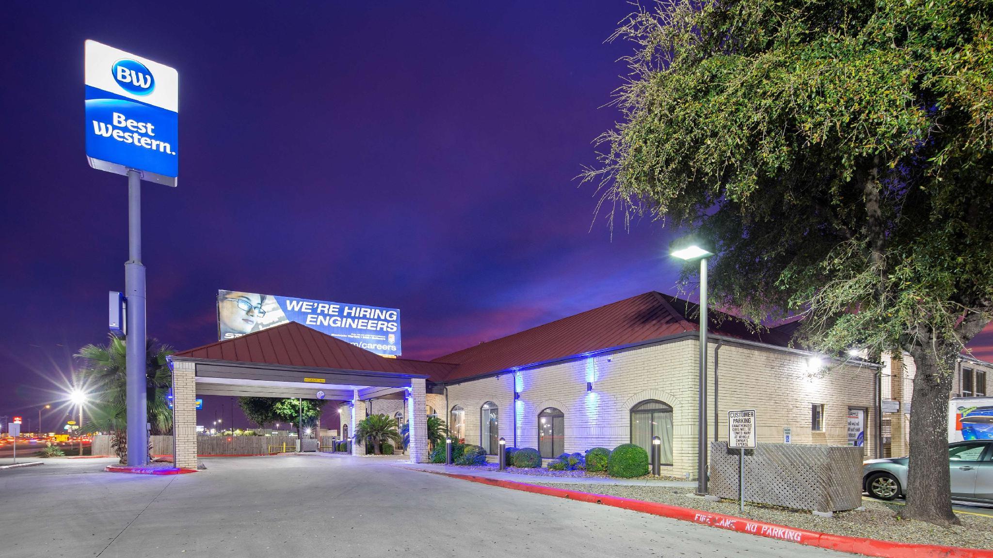
There are 3 ways to get from Flying J Airport to Best Western near Lackland AFB/SeaWorld by train, bus,rideshare, car or plane
Driving
Total time spent: 44 mins
Distance:0.2 mi
Duration:1 min
Head north on Twin Creeks Dr toward FM1863 E
Distance:4.8 mi
Duration:6 mins
Turn right onto FM1863 E
Distance:9.7 mi
Duration:13 mins
Turn right onto FM3009 S/
Distance:0.5 mi
Duration:1 min
Turn right onto Exchange Ave/
Distance:8.4 mi
Duration:8 mins
Take the ramp on the left onto I-35 S
Distance:0.6 mi
Duration:1 min
Take exit 166 for I-410 W
Distance:14.5 mi
Duration:13 mins
Continue onto I-410 W
Distance:0.5 mi
Duration:1 min
Take exit 10 toward FM 1957/
Distance:0.3 mi
Duration:1 min
Merge onto I- 410 Access Rd/
Distance:118 ft
Duration:1 min
Sharp right
Walking
Total time spent: 10 hours 16 mins
Distance:0.2 mi
Duration:4 mins
Head north on Twin Creeks Dr toward FM1863 E
Distance:0.8 mi
Duration:15 mins
Turn left onto FM1863 E
Distance:1.3 mi
Duration:25 mins
Slight left to stay on FM1863 E
Distance:5.8 mi
Duration:1 hour 55 mins
Turn left onto Smithson Valley Rd
Distance:2.1 mi
Duration:41 mins
Continue straight onto Bulverde Rd
Distance:1.3 mi
Duration:25 mins
Turn right onto TPC Pkwy
Distance:230 ft
Duration:1 min
Slight left
Distance:499 ft
Duration:2 mins
Sharp right
Distance:105 ft
Duration:1 min
Sharp right toward Stone Oak Pkwy
Distance:3.7 mi
Duration:1 hour 15 mins
Turn left onto Stone Oak Pkwy
Distance:5.1 mi
Duration:1 hour 40 mins
Turn right onto Huebner Rd
Distance:3.0 mi
Duration:1 hour 2 mins
Slight right to stay on Huebner Rd
Distance:246 ft
Duration:1 min
Turn left onto Frontage Rd
Distance:236 ft
Duration:1 min
Turn right onto Huebner Rd
Distance:85 ft
Duration:1 min
Turn right onto Frontage Rd
Distance:0.1 mi
Duration:2 mins
Turn left onto Huebner Rd
Distance:118 ft
Duration:1 min
Turn right toward Fredericksburg Rd/
Distance:69 ft
Duration:1 min
Turn left toward Fredericksburg Rd/
Distance:157 ft
Duration:1 min
Turn right toward Fredericksburg Rd/
Distance:151 ft
Duration:1 min
Turn left onto Fredericksburg Rd/
Distance:121 ft
Duration:1 min
Turn right onto Huebner Rd
Distance:1.6 mi
Duration:34 mins
Turn left onto Fredericksburg Rd/
Distance:3.1 mi
Duration:1 hour 3 mins
Turn right onto Wurzbach Rd
Distance:98 ft
Duration:1 min
Turn left onto Bandera Rd
Distance:75 ft
Duration:1 min
Turn right toward Ardisana Ave
Distance:371 ft
Duration:1 min
Turn left toward Ardisana Ave
Distance:52 ft
Duration:1 min
Turn left toward Ardisana Ave
Distance:0.2 mi
Duration:5 mins
Turn right onto Ardisana Ave
Distance:207 ft
Duration:1 min
Turn left toward I- 410 Access Rd/
Distance:312 ft
Duration:1 min
Turn right toward I- 410 Access Rd/
Distance:46 ft
Duration:1 min
Turn left toward I- 410 Access Rd/
Distance:1.7 mi
Duration:34 mins
Turn right onto I- 410 Access Rd/
Distance:105 ft
Duration:1 min
Turn right
Bicycling
Total time spent: 3 hours 8 mins
Distance:0.2 mi
Duration:1 min
Head north on Twin Creeks Dr toward FM1863 E
Distance:0.3 mi
Duration:2 mins
Turn right onto FM1863 E
Distance:5.1 mi
Duration:26 mins
Make a U-turn at Roadrunner Wy
Distance:0.8 mi
Duration:4 mins
Turn left onto Bulverde Ln
Distance:0.8 mi
Duration:4 mins
Turn left onto Bulverde Rd
Distance:0.2 mi
Duration:1 min
Turn right
Distance:285 ft
Duration:1 min
Turn left toward Kinder Pkwy
Distance:328 ft
Duration:1 min
Turn left toward Kinder Pkwy
Distance:1.6 mi
Duration:11 mins
Turn right onto Kinder Pkwy
Distance:1.1 mi
Duration:7 mins
Turn right onto E Borgfeld Dr
Distance:0.3 mi
Duration:3 mins
Turn left onto Timberline Dr
Distance:0.2 mi
Duration:1 min
Turn right onto Slumber Pass
Distance:0.2 mi
Duration:1 min
Turn left onto Harmony Hills
Distance:0.4 mi
Duration:2 mins
Turn right onto Mountain Echo
Distance:0.6 mi
Duration:2 mins
Turn left onto Adonis Dr
Distance:1.7 mi
Duration:9 mins
Turn left onto Slumber Pass
Distance:5.3 mi
Duration:23 mins
Turn left onto Blanco Rd
Distance:5.9 mi
Duration:30 mins
Turn right onto N Loop 1604 W
Distance:0.1 mi
Duration:1 min
Turn right onto Old Fredericksburg Rd
Distance:0.5 mi
Duration:2 mins
Turn left onto Leon Creek Greenway/
Distance:2.2 mi
Duration:10 mins
Turn right to stay on Leon Creek Greenway/
Distance:161 ft
Duration:1 min
Slight left to stay on Leon Creek Greenway/
Distance:285 ft
Duration:1 min
Slight left to stay on Leon Creek Greenway/
Distance:49 ft
Duration:1 min
Turn right to stay on Leon Creek Greenway/
Distance:1.0 mi
Duration:4 mins
Slight right to stay on Leon Creek Greenway/
Distance:0.3 mi
Duration:1 min
Turn left onto Leon Creek Greenway/
Distance:0.1 mi
Duration:1 min
Turn right onto Leon Creek Greenway/
Distance:1.5 mi
Duration:7 mins
Turn right to stay on Leon Creek Greenway/
Distance:0.5 mi
Duration:2 mins
Slight right to stay on Leon Creek Greenway/
Distance:131 ft
Duration:1 min
Turn right to stay on Leon Creek Greenway/
Distance:1.2 mi
Duration:6 mins
Turn left to stay on Leon Creek Greenway/
Distance:2.8 mi
Duration:13 mins
Slight left to stay on Leon Creek Greenway/
Distance:384 ft
Duration:1 min
Turn right to stay on Leon Creek Greenway/
Distance:33 ft
Duration:1 min
Turn right to stay on Leon Creek Greenway/
Distance:0.7 mi
Duration:3 mins
Slight right onto Leon Creek Greenway/
Distance:1.2 mi
Duration:6 mins
Slight left onto Leon Creek Greenway/
Distance:0.1 mi
Duration:1 min
Turn left to stay on Leon Creek Greenway/
Distance:292 ft
Duration:1 min
Turn left toward Northwestern Dr
Distance:0.2 mi
Duration:1 min
Turn right onto Northwestern Dr
Distance:0.2 mi
Duration:1 min
Turn right onto I- 410 Access Rd/
Distance:105 ft
Duration:1 min
Turn right
Questions & Answers
The cheapest way to get from Flying J Airport to Best Western near Lackland AFB/SeaWorld is to walking which costs $0 and takes 10 hours 16 mins.
The fastest way to get from Flying J Airport to Best Western near Lackland AFB/SeaWorld is to driving. Taking this option will takes 44 mins.
No,there is no direct bus departing from Flying J Airport to Best Western near Lackland AFB/SeaWorld,you may have to walk for a while.The journey takes approximately .
No, there is no direct train departing from Flying J Airport to Best Western near Lackland AFB/SeaWorld. you may have to driving,this way will takes 44 mins.
The road distance between Flying J Airport to Best Western near Lackland AFB/SeaWorld is 39.6 mi.
The best way to get from Flying J Airport to Best Western near Lackland AFB/SeaWorld without a car is to bicycling which takes 3 hours 8 mins.
The driving from Flying J Airport to Best Western near Lackland AFB/SeaWorld takes 44 mins.
No, there is no bus from Flying J Airport to Best Western near Lackland AFB/SeaWorld.
You can drive from Flying J Airport to Best Western near Lackland AFB/SeaWorld,which takes 44 mins.
The best way to get from Flying J Airport to Best Western near Lackland AFB/SeaWorld is to driving which takes 44 mins.