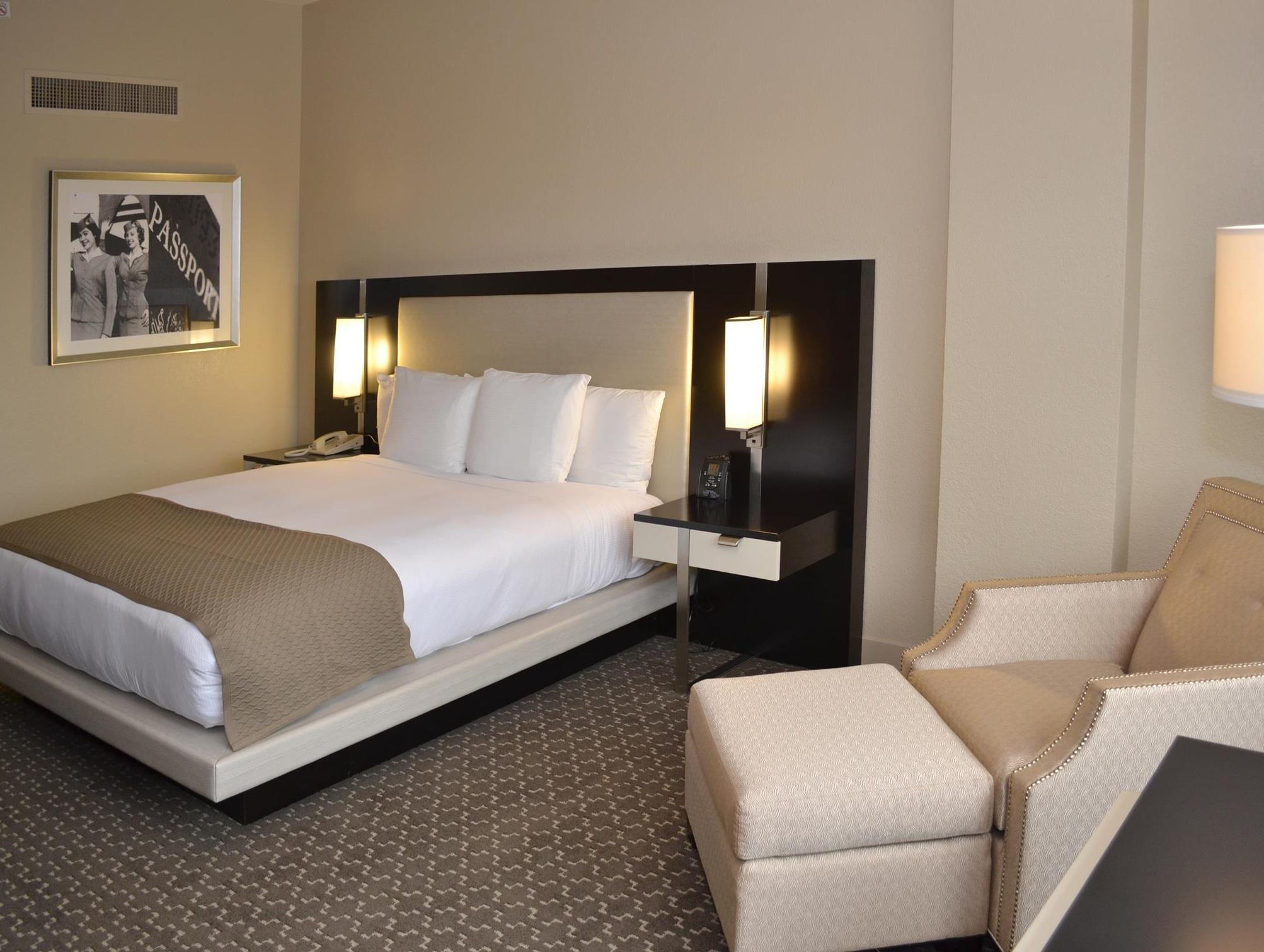
There are 3 ways to get from San Jacinto Methodist Hospital Heliport to DoubleTree by Hilton Houston Hobby Airport by train, bus,rideshare, car or plane
Driving
Total time spent: 32 mins
Distance:0.1 mi
Duration:2 mins
Head west
Distance:125 ft
Duration:1 min
Slight left toward Garth Rd
Distance:1.2 mi
Duration:4 mins
Turn right onto Garth Rd
Distance:0.3 mi
Duration:1 min
Turn right onto N Hwy 146/
Distance:5.3 mi
Duration:5 mins
Take the ramp on the left onto TX-146 S/
Distance:0.5 mi
Duration:1 min
Take the TX-225 W exit toward Pasadena/
Distance:14.1 mi
Duration:13 mins
Continue onto TX-225 W/
Distance:1.3 mi
Duration:1 min
Take the exit on the left onto I-610 W
Distance:2.3 mi
Duration:3 mins
Take exit 32A to merge onto I-45 S toward Galveston
Distance:0.1 mi
Duration:1 min
Take exit 38 toward TX-3/
Distance:0.3 mi
Duration:1 min
Merge onto Gulf Fwy
Distance:187 ft
Duration:1 min
Continue straight to stay on Gulf Fwy
Distance:0.9 mi
Duration:2 mins
Turn right onto Monroe Rd
Distance:0.3 mi
Duration:1 min
Turn right onto Airport Blvd
Walking
Total time spent: 8 hours 26 mins
Distance:85 ft
Duration:1 min
Head southeast
Distance:184 ft
Duration:1 min
Turn left toward W Baker Rd
Distance:207 ft
Duration:1 min
Turn left toward W Baker Rd
Distance:194 ft
Duration:1 min
Turn left toward W Baker Rd
Distance:2.1 mi
Duration:42 mins
Turn left onto W Baker Rd
Distance:2.4 mi
Duration:49 mins
Turn right onto Decker Dr
Distance:0.3 mi
Duration:6 mins
Turn left onto Mable St
Distance:0.6 mi
Duration:12 mins
Turn right onto Center St
Distance:2.1 mi
Duration:42 mins
Turn left onto Independence Pkwy N
Distance:226 ft
Duration:1 min
Continue onto Lynchburg Rd
Distance:0.2 mi
Duration:9 mins
Take the ferry to La Porte
Distance:4.1 mi
Duration:1 hour 20 mins
Continue straight onto Independence Pkwy
Distance:0.4 mi
Duration:9 mins
Continue onto Battleground Rd
Distance:1.8 mi
Duration:36 mins
Turn right onto E Thirteenth St
Distance:0.2 mi
Duration:5 mins
Continue onto W 13th St
Distance:1.0 mi
Duration:20 mins
Slight right to stay on W 13th St
Distance:0.6 mi
Duration:12 mins
Continue onto Greenshadow Dr
Distance:0.3 mi
Duration:6 mins
Turn left onto East Sam Houston Pkwy S
Distance:0.3 mi
Duration:7 mins
Turn right onto Meadow Wood Dr
Distance:0.2 mi
Duration:3 mins
Turn left onto Whelton Dr
Distance:0.5 mi
Duration:10 mins
Turn right onto Tanglebriar Dr
Distance:0.2 mi
Duration:4 mins
Turn left onto Deepwater Ave
Distance:3.2 mi
Duration:1 hour 5 mins
Continue onto Southmore Ave
Distance:43 ft
Duration:1 min
Turn left toward S Houston Rd
Distance:95 ft
Duration:1 min
Turn right toward S Houston Rd
Distance:0.3 mi
Duration:5 mins
Turn left onto S Houston Rd
Distance:1.7 mi
Duration:35 mins
Slight right onto Richey St
Distance:1.1 mi
Duration:22 mins
Continue onto Winkler Dr
Distance:0.1 mi
Duration:3 mins
Slight left onto Monroe Rd
Distance:49 ft
Duration:1 min
Turn right onto Gulf Fwy
Distance:0.6 mi
Duration:13 mins
Turn left onto Monroe Rd
Distance:0.3 mi
Duration:5 mins
Turn right onto Meadville St
Distance:0.2 mi
Duration:3 mins
Turn left onto Hinman St
Distance:230 ft
Duration:1 min
Turn right onto Airport Blvd
Bicycling
Total time spent: 2 hours 30 mins
Distance:0.2 mi
Duration:1 min
Head west
Distance:0.7 mi
Duration:4 mins
Turn left onto Garth Rd
Distance:3.3 mi
Duration:17 mins
Turn left onto W Cedar Bayou Lynchburg Rd
Distance:0.8 mi
Duration:5 mins
Turn right onto Thompson Rd
Distance:1.6 mi
Duration:9 mins
Turn left onto E Freeway Service Rd/
Distance:0.1 mi
Duration:1 min
Turn left onto Crosby Lynchburg Rd/
Distance:2.3 mi
Duration:11 mins
Continue onto Independence Pkwy N
Distance:226 ft
Duration:1 min
Continue onto Lynchburg Rd
Distance:0.2 mi
Duration:9 mins
Take the ferry to La Porte
Distance:4.1 mi
Duration:20 mins
Continue straight onto Independence Pkwy
Distance:0.2 mi
Duration:1 min
Turn right onto Pasadena Fwy Frontage Rd
Distance:1.3 mi
Duration:6 mins
Continue onto Pasadena Freeway Frontage Rd
Distance:0.9 mi
Duration:5 mins
Continue straight to stay on Pasadena Freeway Frontage Rd
Distance:1.4 mi
Duration:8 mins
Keep right to stay on Pasadena Freeway Frontage Rd
Distance:0.2 mi
Duration:2 mins
Turn left onto East Sam Houston Pkwy S
Distance:1.1 mi
Duration:5 mins
Turn right onto Washington St
Distance:2.6 mi
Duration:15 mins
Continue onto Thomas Ave
Distance:0.3 mi
Duration:2 mins
Turn left onto Shaver St
Distance:0.5 mi
Duration:3 mins
Turn right onto W Harris Ave
Distance:2.5 mi
Duration:15 mins
Turn left onto Richey St
Distance:1.1 mi
Duration:6 mins
Continue onto Winkler Dr
Distance:0.8 mi
Duration:4 mins
Slight left onto Monroe Rd
Distance:0.3 mi
Duration:1 min
Turn right onto Meadville St
Distance:0.2 mi
Duration:1 min
Turn left onto Hinman St
Distance:230 ft
Duration:1 min
Turn right onto Airport Blvd
Questions & Answers
The cheapest way to get from San Jacinto Methodist Hospital Heliport to DoubleTree by Hilton Houston Hobby Airport is to walking which costs $0 and takes 8 hours 26 mins.
The fastest way to get from San Jacinto Methodist Hospital Heliport to DoubleTree by Hilton Houston Hobby Airport is to driving. Taking this option will takes 32 mins.
No,there is no direct bus departing from San Jacinto Methodist Hospital Heliport to DoubleTree by Hilton Houston Hobby Airport,you may have to walk for a while.The journey takes approximately .
No, there is no direct train departing from San Jacinto Methodist Hospital Heliport to DoubleTree by Hilton Houston Hobby Airport. you may have to driving,this way will takes 32 mins.
The road distance between San Jacinto Methodist Hospital Heliport to DoubleTree by Hilton Houston Hobby Airport is 26.9 mi.
The best way to get from San Jacinto Methodist Hospital Heliport to DoubleTree by Hilton Houston Hobby Airport without a car is to bicycling which takes 2 hours 30 mins.
The driving from San Jacinto Methodist Hospital Heliport to DoubleTree by Hilton Houston Hobby Airport takes 32 mins.
No, there is no bus from San Jacinto Methodist Hospital Heliport to DoubleTree by Hilton Houston Hobby Airport.
You can drive from San Jacinto Methodist Hospital Heliport to DoubleTree by Hilton Houston Hobby Airport,which takes 32 mins.
The best way to get from San Jacinto Methodist Hospital Heliport to DoubleTree by Hilton Houston Hobby Airport is to driving which takes 32 mins.
